Walcha Gravel Ride 76 km | 1 Day
These routes are a part of a collection of day and multi-day routes for Walcha Tourism.
This GPX route is free without details. However you can buy the route for $5 and it comes with an e-booklet containing information and resources to help you get the most of out your ride.
When buying the route you also receive a sticker pack and a discount code for any purchases from Jambz Distro bike packing gear webstore.
If you would like to make a donation towards the route making project you can do so below via a paypal link.
Route Information
-
Great question, you don’t need to! The below Ride With GPS route is free to use.
The 1 - 2 day rides have detail on the free RWGPS file.
The multi day routes have no detail on the free RWGPS file.
If you decide to purchase a route, you receive the following;
A detailed Ride With GPS route which includes camping options, resupply, water sources, more details on terrain and helpful links, info and resources that go with having a great time on a ride.
Suggestions on the best places to eat, drink and stay.
A 20% discount code for Jambz Distro. Your home of bike touring gear.
A sticker pack
Buy buying the route you are also helping to maintain this resource.
The route makers are paid for their work, and they also receive a % of their routes purchases - so your purchase gets to the right places.
-
You can! The upside to each person buying the route is that you all receive the details, there are no excuses for someone to be under prepared.
Each rider receives a 20% discount code and sticker packs sent to them.
The added bonus of including everyone’s details is that we can have a good understanding of how popular the route is.
A goal is to create a calendar of people who are riding the route at any given time. So you can potentially connect with people who are travelling the same time as you.
And finally, supporting the route making project means that it can continue to be a maintained resource.
GPX Link
Route Snapshot
Highlights
Description
Boasting an impressive 83% gravel, this day ride is sure to cure those paved road mile blues.
What might seem like an unnecessary addition to the route; the small triangular detour through Walcha is purposeful. It is to showcase the old stock yards, built in the 1950’s. Plus it is a nice way to avoid the Oxley highway as long as you can.
If you are anything like me, it takes about 15km to warm up; finally being able to drive some power into the pedals. Which comes at an opportune time in this route. The not so obvious decline in elevation makes you feel like the natural born athlete you are. Reach that God Level feeling.
As Gods we meet the MacDonald river for the first time - the beautiful 169km long perennial river that flows mostly north west to meet the Namoi river and is a part of the Darling-Murray catchment. If it is a hot day, perhaps a cleansing swim?
While Willow tree’s are an annoying, destructive and invasive species, if you squint to look past their often diseased and greedy personalities - they do add a weeping beauty to the river banks.
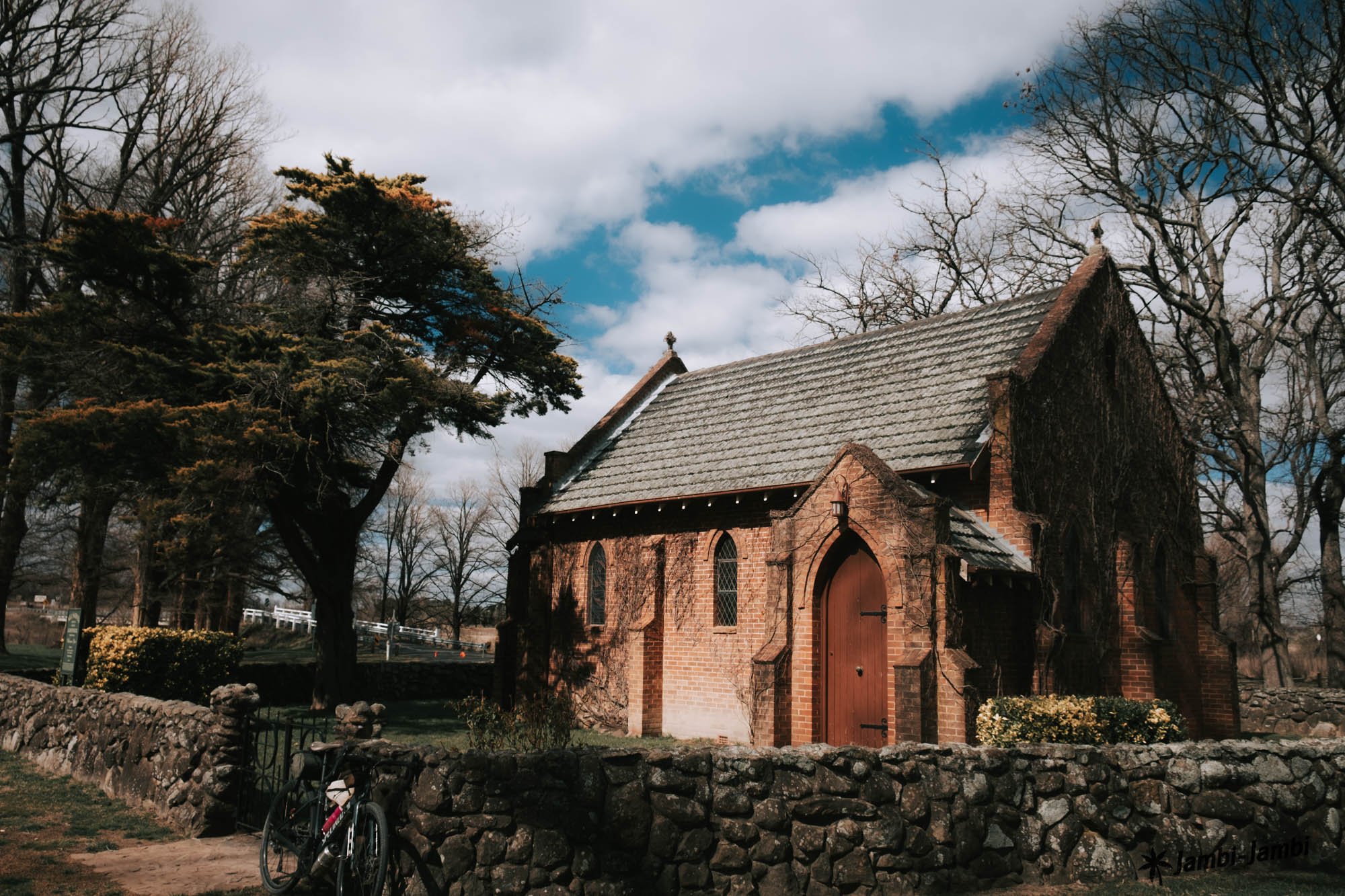
Woolbrook, population is a booming 220, hosting a school of 20 children, the AIF Memorial Hall and St John’s church which was built in 1929. The Main North train line finished in 1882 runs through Woolbrook, the station having been closed at an unknown date in the 1990’s/2000’s.
The heritage listed single-span wrought iron lattice rail bridge crosses the MacDonald River and is well worth a look... and a selfie if you are that way inclined.
If you are a railway enthusiast and would like to see more of the Main North Line. You can make plans (as you climb up the quick-to-reward climb further along the route) to return to Walcha for the Walcha Grand South 4 day Tour. Where the train tracks weave over and under Danglemah Road.
Once you reach the top, you will get to enjoy the vast views of the Moonbi Ranges to the west. On a clear day you may be able to see right off the Northern Tableland Plateau.
The highest point in the route is on the pale, sandy road that runs through the protected Aberbaldie Nature Reserve. Aberbaldie Nature Reserve contains important habitat for an array of forest species in a relatively cleared farmland landscape. It is also a nice break from the pastures. Three threatened animal species, including the vulnerable Eastern False Pipistrelle Bat, and two bird species listed under international agreements have been recorded in the reserve. So consider bringing your pocket binoculars.
Gallery


